


There Are Four Tropical Storms In The Pacific Right Now
But will there be surf?
It appears the West Coast may be sliding into a proper run of waves, as the Pacific Ocean off the coast of Mexico is currently dancing with four named storms.
Hurricane Hector, Tropical Storm Kristy, Hurricane John, and new to the party, Tropical Storm Ileana are here to spin.
That’s really good news if you’re a storm chaser and know where to position yourself, especially along the Baja Peninsula.
The four-pack of storms is largely due to the enhanced phase of the Madden-Julian Oscillation, which the Weather Channel explains, “influences tropical-cyclone activity in both the eastern Pacific and Atlantic basin and increases the chance of more and stronger tropical cyclones.”
At this point, Hurricane Hector appears to be wandering out into the Eastern Pacific and doesn’t look like it will be much of a swell producer for the West Coast, but it does have the Hawaiian Islands in its crosshairs.
Currently a Category 4 hurricane with maximum sustained winds of 130 mph, it appears that Hector will weaken over the next 24 to 48 hours as it gets closer to the Big Island. Forecast models indicate it will most likely pass south of the islands, which could set up some close-range tropical swell for those sneaky, seldom surfed reefs.
For West Coasters, Hurricane John is the one to watch.
It looks like it’s going to slurp up Tropical Storm Kristy and continue to strengthen like some sort of canibal/chimera of a storm.
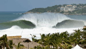
Models indicate that it won’t hit Cabo directly, but will definitely light it up. It’s expected to bring weather and waves to the area today. Accu-Weather is calling it “less than ideal beach conditions.” (Of course, that’s subjective, isn’t it?)
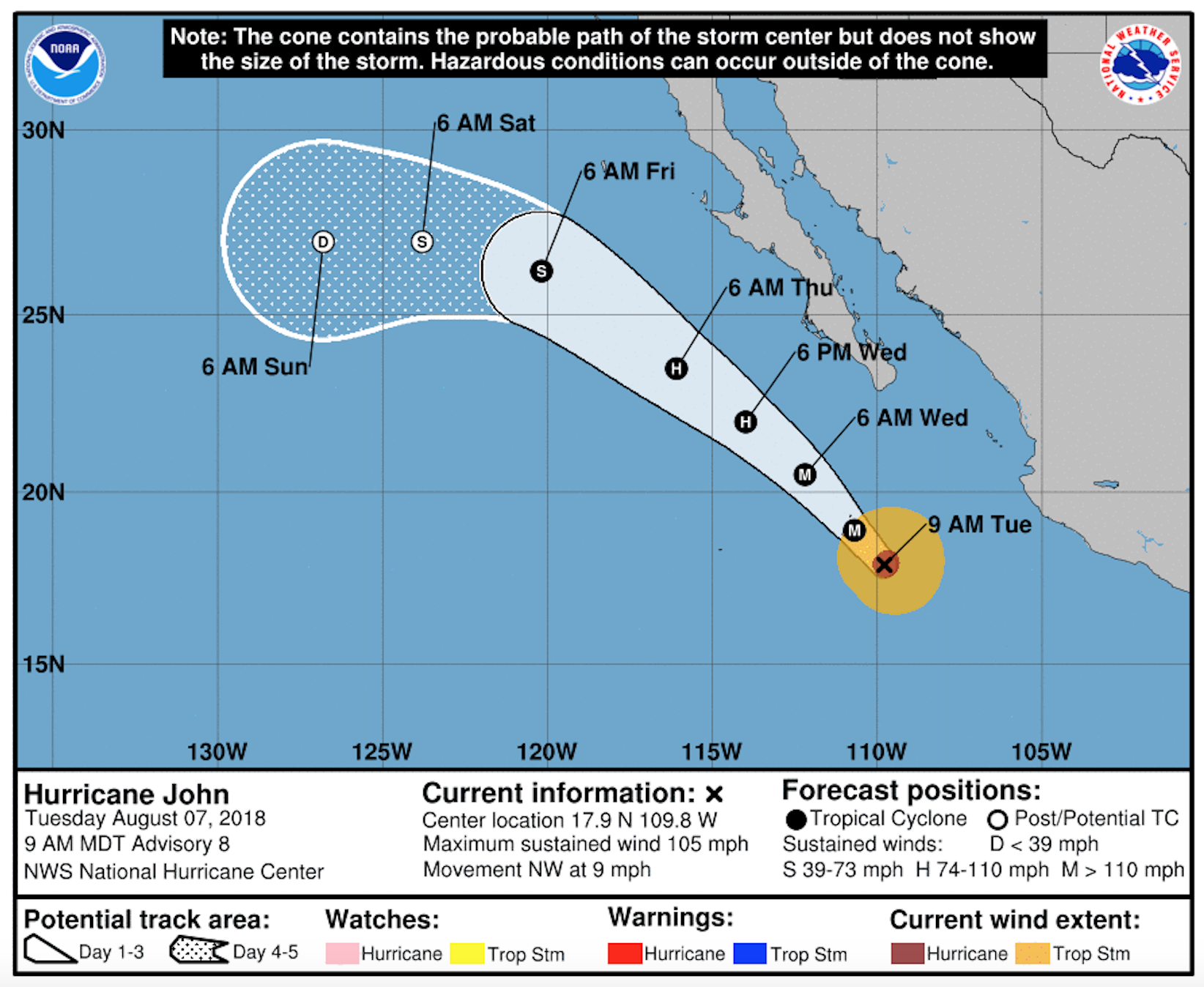
John’s looking like it’s going to tip-toe up the Baja Peninsula, well offshore but perhaps close enough to deliver some short-interval juice to points in the northern half of the peninsula. It’s expected to continue to make its northward migration throughout the week with sustained wind speeds holding 125 mph.
By Friday/Saturday, it’s a Category 1 storm right in Southern California’s wheelhouse.
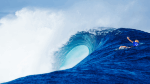
Hurricane swells are notoriously hard to forecast, as they arrive from weird angles with unusual intervals, but that’s the fun of them.
And while the tropics are definitely getting the lion’s share of the attention, the South Pacific has also been getting a workout. Storms at the bottom of the world are setting up a solid, long-period south swell for Southern California and Baja the following week.
Load up the rig or pack the coffin, and get after it.


Comments
Comments are a Stab Premium feature. Gotta join to talk shop.
Already a member? Sign In
Want to join? Sign Up