Storm the size of Oz projected to hit Indo!
Words by Morgan Williamson Right now, a storm 2.5 million square miles is fermenting in the Indian Ocean. Yes, million. Seven digits of raw power. That’s nearly the size of Australia (2.9 million square miles). According to Magic Seaweed, the swell will top out at around 50 feet, with peak wind speeds at 60mph and a 28-second […]
Words by Morgan Williamson
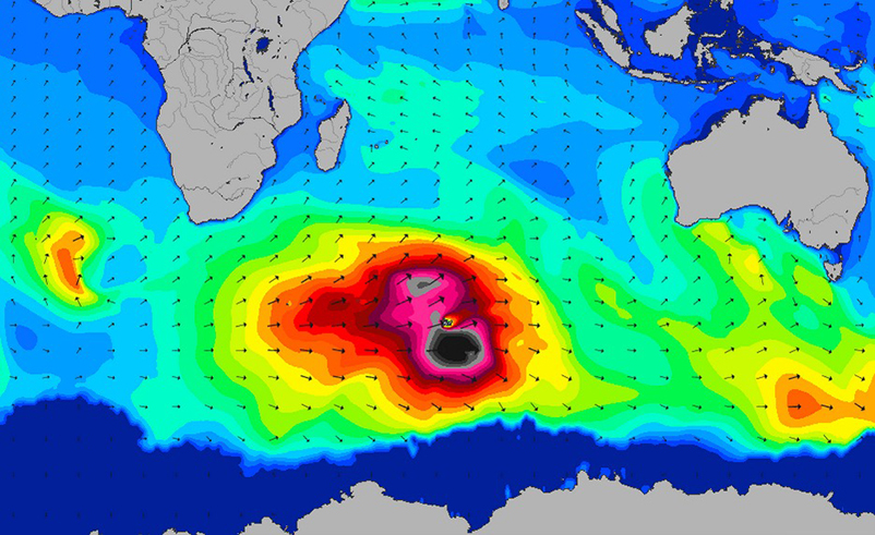
Right now, a storm 2.5 million square miles is fermenting in the Indian Ocean. Yes, million. Seven digits of raw power. That’s nearly the size of Australia (2.9 million square miles). According to Magic Seaweed, the swell will top out at around 50 feet, with peak wind speeds at 60mph and a 28-second period. So much in surfing rides on anticipation! It drags us into swell charts, angles, projections, wind patterns. And what the buoys and numbers are projecting right now, is a storm projected to slam into Indonesia this weekend like a C-4 stuffed freighter into a brick wall at 90 mph.

Swell chart showing 50 feet-plus waves in the Indian Ocean. Image: Magic Seaweed
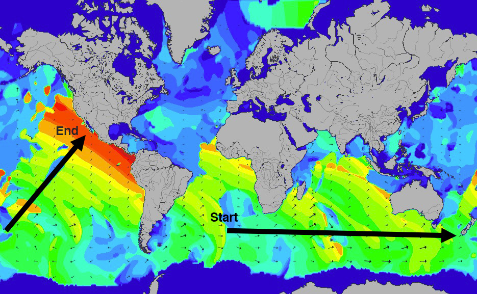
It will not be the biggest swell of the year, or the season for that matter. But, the combination of swell size, peak period and peak energy exceeds any swell event recorded in recent decades. It’ll spread over 40 degrees, providing solid surf to Indo’s south and west facing breaks. It won’t hit like a shotgun, but rather more like a machine gun, pressed against Indo’s coast in a direct flurry. And the spray won’t stop there. It’ll be detectable in two-thirds of the world’s ocean surface at some point. West Oz will be receiving a sharp kick as well. So, if you’ve got the time and the means, flex the Amex and get out of town. You couldn’t find a more fitting swell for Indo.

Starting in the South Atlantic, waves created in the Indian Ocean are forecast to be felt in Alaska. Image: Magic Seaweed
And the best news of all? Swells like this will perhaps be a sign of things to come. “My short tenure as an ‘amateur forecaster’ only extends 10 years back, and Mother Nature’s cycles happen on a much grander scale,” Greg Long told Stab late last year. “But I’ll be damned if she hasn’t been producing ‘the swell of the year’ on what feels like a weekly basis the past 18 months. Record-setting super-storms have been occurring with more frequency than I can remember.” And that’s true and has been for about a year now. Think back to that Puerto swell early March, Cyclone Marcia late February and the countless Jaws sessions last winter. Reminisce on the string of Hurricanes (Marie included) that slammed Mexico and California last summer; reducing Cabo San Lucas to rubble. South Africa’s been on absolute fire too, and, the list goes on. This storm is no exception.

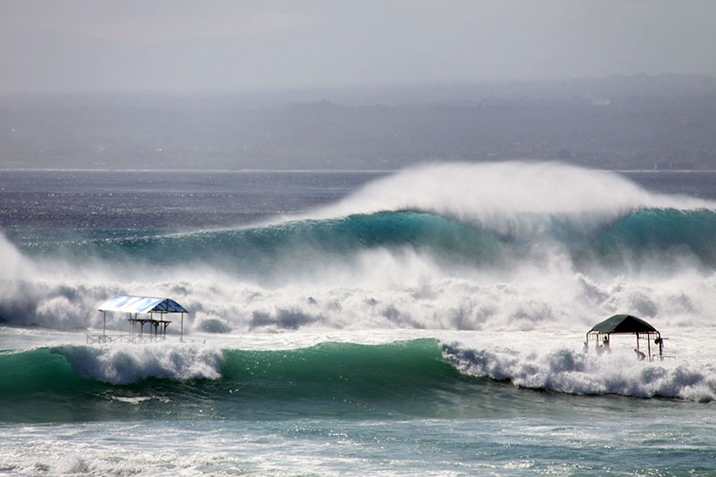
This is what 19 seconds of South West fury looked like in Nusa Lembongan last year. Everyone best be ready this year. Photo: Aaron Hawke
So, here our palates experience their first breaths of the golden years to come. Professor Ian Goodwin is a Marine Climatologist, Coastal Oceanographer and a Marine Geologist. Late last year he told Stab that he’d reconstructed the last 1000 years of wind and wave fields as part of his research at Sydney’s Macquarie University. “I talk to a lot of guys my age (57) and everyone harks back: ‘why is the surf so crap in recent years compared to the way it was in the 60s and 70s?’ Well, when we look at the decadal climate pattern, we’re actually back into the pattern of the 1960s. It should be a pretty magical 15-year window, and it could run as long as 30 years.” And we want to listen, after all he’s a professor and it all sounds so lovely, don’t it? History does have a way of repeating itself but nothing’s for certain. Not even science, so bury this into the back of your skull. Now that it’s brimming with information, try to manage to keep your expectations low. That way when the amazing happens, it’s that much more.

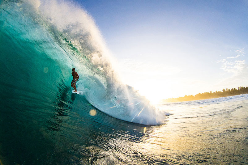
Conditions in the Ments will be straight fire. Dean Morrison, Bank Vaults. Photo: John Barton


Comments
Comments are a Stab Premium feature. Gotta join to talk shop.
Already a member? Sign In
Want to join? Sign Up